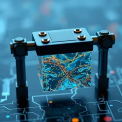
Micro Scale Mapping
Micro Scale Mapping is a specialized field of cartographic science focused on creating detailed representations of extremely small spaces and territories. This innovative discipline emerged from the convergence of nano-technology and traditional mapping methodologies in the early 21st century.

Overview
Micro Scale Mapping utilizes advanced quantum sensing technology to create precise, three-dimensional representations of spaces typically smaller than one cubic centimeter. The field has revolutionized various scientific disciplines, from molecular architecture to micro-ecosystem studies.
Technology
Mapping Tools
The primary tools used in micro scale mapping include:
- Quantum Position Sensors: Devices that track movement at the microscopic level
- Nano-LIDAR Systems: Light-based detection systems modified for microscale use
- Molecular Tracking Arrays: Networks of sensors that detect and map molecular movements
Software Integration
Modern micro scale mapping relies heavily on specialized Quantum Visualization Software that can process and render three-dimensional maps of microscopic spaces in real-time.
Applications
Scientific Research
Micro scale mapping has become essential in several research fields:
- Cellular Architecture Studies
- Documentation of micro-organism territories
- Analysis of quantum space utilization
Industrial Uses
The technology has found practical applications in:
Future Developments
Researchers are currently working on integrating temporal mapping capabilities that would allow for four-dimensional representations of microscopic spaces, tracking changes over time as well as space.
Historical Impact
The development of micro scale mapping has led to several breakthrough discoveries, including:
- The identification of sub-cellular highways
- Mapping of quantum material structures
- Documentation of molecular ecosystem patterns